


Description
Revolutionize your surveying and 3D scanning operations with the Pix4D viDoc RTK Rover (No Phone Case) (SKU 3240.060) – an innovative and future-forward solution that transforms your smartphone into a powerful, professional-grade RTK measurement and 3D scanning tool. This cutting-edge rover empowers industrial construction firms, land surveyors, engineering companies, non-profit organizations focused on historical preservation or environmental mapping, educational institutions teaching GIS or surveying, community centers involved in urban planning, and even large facilities like parks, apartment complexes, and Homeowners Associations managing extensive property layouts, to achieve unparalleled precision and efficiency in their data collection, fostering meticulously managed and thriving communities!
Precision in Your Palm: The Ultimate RTK Rover for Professional-Grade 3D Scanning and Surveying
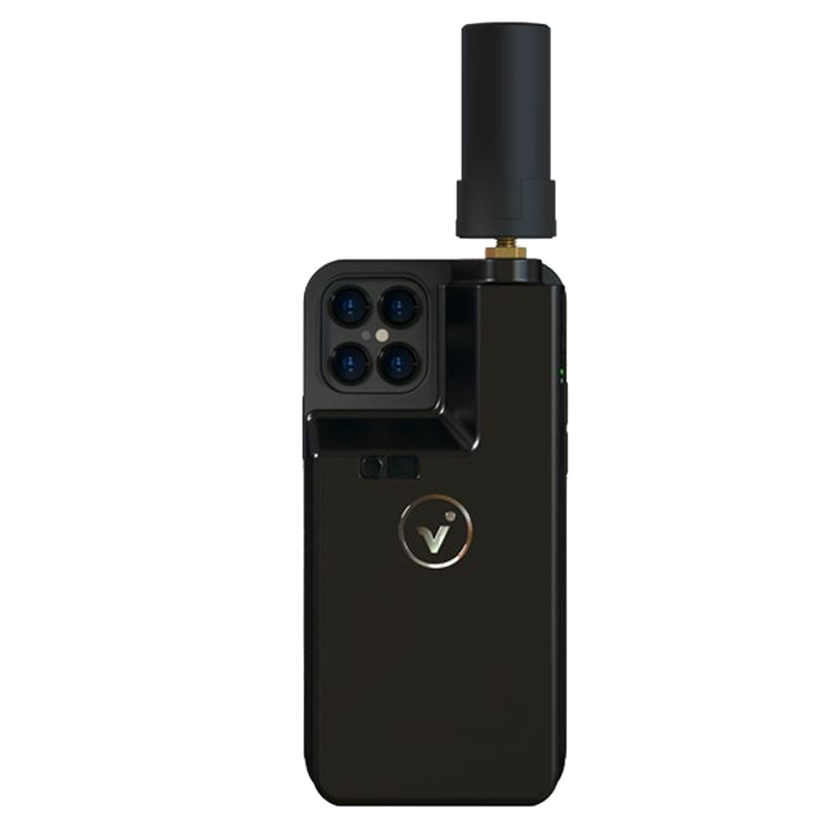
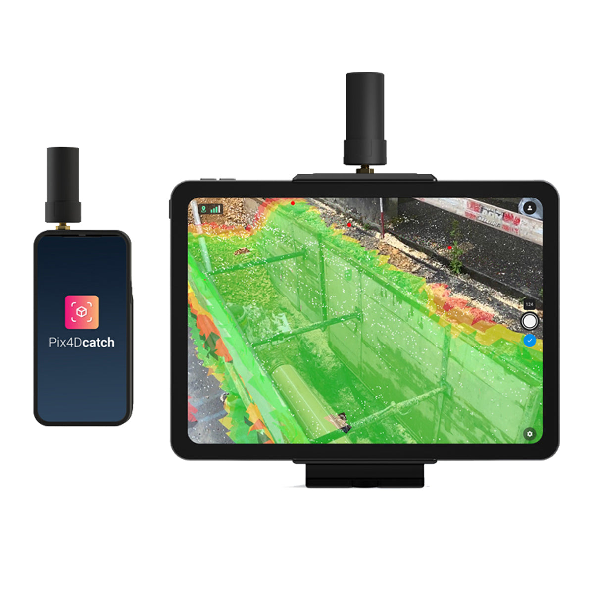
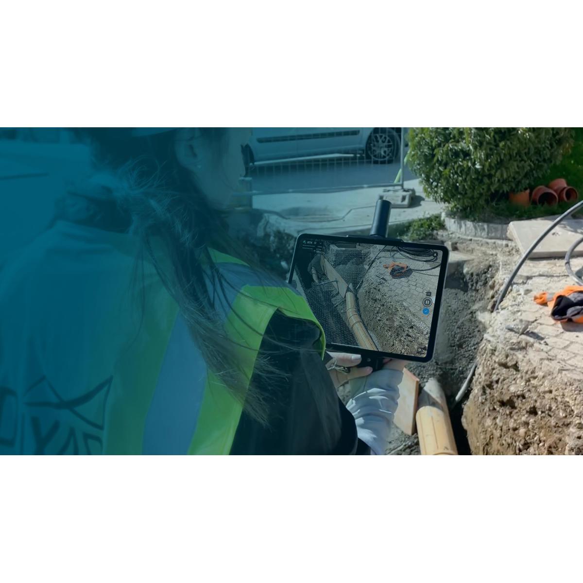
Are you a professional surveyor needing to capture highly accurate single points or complete detailed 3D scans of complex sites, even with obstructed views? Are you an engineering firm requiring precise as-built documentation for construction projects, including trenches and infrastructure? Are you a non-profit organization digitizing historical sites or mapping environmental changes with centimeter-level accuracy? Are you a school or university teaching the next generation of surveyors and GIS professionals, seeking an accessible yet powerful RTK solution? Are you a community center involved in urban planning or infrastructure development, needing to quickly and accurately map areas? Are you a park needing to survey natural features or infrastructure with high precision, even under tree cover, or an apartment complex/Homeowners Association managing extensive property layouts and needing accurate spatial data for maintenance, development, or security? Imagine holding the power of professional surveying in your hand, effortlessly capturing 3D scans and single-point measurements with incredible accuracy, eliminating the need for bulky, expensive equipment, and instantly geotagging your data in real-time, even around obstructions. The Pix4D viDoc RTK Rover is engineered to deliver exactly that. This high-quality rover is designed to work seamlessly with selected iPhone and Android devices (especially those with LiDAR sensors), offering a future-forward approach to single point measurement and 3D scanning. When paired with the PIX4Dcatch application, it enables you to digitize and document trenches and as-built objects on construction sites, offering multiple options for accurate point measurement (laser, photogrammetry, or surveying rod attachment). With real-time geotagging using NTRIP services and the ability to connect to over 600 GNSS channels (GPS, GLONASS, Galileo, etc.) for rapid convergence in under 5 seconds, this innovative tool replaces complex workflows, providing a more convenient, accurate, and efficient alternative to traditional ground surveying equipment, redefining what's possible in handheld geospatial data acquisition!
Benefits That Drive Unrivaled Accuracy, Enhanced Efficiency, and Simplified Workflows, Skyrocketing Data Quality and Project Success
This isn't just a rover; it's a transformative investment in your surveying capabilities, operational agility, and ultimate project impact, offering:
- Achieve Professional-Grade Absolute Accuracy (Less Than 5cm with iOS/Cloud): Gain unparalleled confidence in your measurements and 3D models. When used with an iOS device, PIX4Dcatch, and PIX4Dcloud, the viDoc RTK Rover delivers measurements with an absolute accuracy of less than 5cm. This level of precision is crucial for professional surveying, construction verification, and detailed asset management, ensuring your data is reliable and actionable.
- Capture Accurate Measurements Even with Obstructed Views: Overcome environmental challenges that hinder traditional methods. Whether you're using the laser, photogrammetry, or attaching it to a surveying rod, the viDoc allows you to measure obstructed points and complete data collection without missing anything that may be obstructed by objects like trees or overhangs. This versatility ensures comprehensive data capture in real-world scenarios.
- Streamline Data Collection and Reduce Costly Site Visits: Work smarter, not harder, and save valuable time and resources. The viDoc RTK Rover ensures accurate and safe measurement methods, helping you reduce risks and unnecessary site visits, making data collection inherently safer and more efficient. Its intuitive design means anyone can quickly collect points or complete an accurate 3D scan, reducing the need for specialized personnel.
- Experience Rapid GNSS Convergence for Swift Field Operations: Minimize waiting time and maximize productivity in the field. With the ability to connect to over 600 channels, including all major constellations such as GPS, GLONASS, Galileo, etc., the viDoc RTK Rover ensures rapid convergence in under 5 seconds. This means you're ready to collect data almost instantly upon arrival, significantly accelerating your fieldwork.
- Revolutionize Workflows by Replacing Bulky, Expensive Equipment: Transform your toolkit and embrace modern efficiency. This innovative tool replaces complex and cumbersome workflows, offering a more convenient and cost-effective alternative to traditional, bulky, and expensive ground surveying equipment like laser scanners. It empowers you to achieve professional results with a streamlined, handheld solution.
The Advantage of Seamless Smartphone Integration, Robust GNSS Performance, and Durable Design
The Pix4D viDoc RTK Rover stands out with its intelligent design and unwavering commitment to operational excellence:
- Designed for Seamless Integration with Selected iOS and Android Devices (especially LiDAR-equipped): Transforms your everyday smartphone into a powerful surveying instrument, leveraging its advanced camera and processing capabilities for 3D scanning.
- Enhance Drone Mapping Accuracy: This RTK rover is not only for ground measurements but also plays a crucial role in improving drone mapping accuracy by providing precise ground control points (GCPs), helping you achieve <2cm accuracy with GCP data for professional drone surveys.
- Improve Drone's RTK Positioning: Provides reliable GNSS data that can improve your drone's RTK positioning with rapid convergence time, under 10 seconds!
- Robust GNSS Antenna: Ensures reliable satellite signal coverage for consistent and precise RTK positioning during both ground and drone operations.
- Real-Time Geotagging: Paired with PIX4Dcatch, it enables real-time geotagging of 3D scan images using NTRIP services, enhancing your mobile data collection process and ensuring spatial accuracy from the moment of capture.
- Durable and Stylish Construction: Built for the demands of fieldwork, ensuring longevity and reliable performance in various environments.
- Lightweight & Portable: Enhances drone flights without adding bulk and is easy to carry for ground operations, maximizing efficiency.
- Extended Battery Life: Enjoy up to 8 hours of operation under real conditions, allowing for full-day fieldwork without interruption.
- Intuitive Design and Structure: Makes it easy for anyone to collect points or complete an accurate 3D scan, reducing the learning curve and enabling broader team participation.
- Manufacturer Warranty: This product comes with a Pix4D 2-Year Limited Warranty, ensuring your investment is protected.
Key Features for Superior RTK Surveying and 3D Scanning
- Product Name: Pix4D viDoc RTK Rover (No Phone Case)
- SKU: 3240.060
- Function: Professional surveying, single point measurement, and 3D scanning
- Compatibility: Selected iPhone and Android devices (especially those equipped with LiDAR sensors)
- Software Integration: Seamlessly works with PIX4Dcatch for data capture and PIX4Dcloud for end-to-end solutions.
- Absolute Accuracy: Less than 5cm (with iOS device, PIX4Dcatch, and PIX4Dcloud)
- Measurement Options: Laser, photogrammetry, and surveying rod attachment
- GNSS Connectivity: Over 600 channels, including GPS, GLONASS, Galileo, etc.
- Rapid Convergence: Under 5 seconds
- Battery Life: Up to 8 hours of operation
-
Key Features:
- Professional-grade 3D scanning and RTK positioning.
- Enhanced data collection with PIX4Dcatch for accurate trench and site documentation.
- Multiple measurement options for obstructed points.
- Real-time geotagging of 3D scan images using NTRIP services.
- Replaces bulky and expensive ground surveying equipment.
- Enhances drone mapping accuracy with precise GCP data (<2cm accuracy).
- Improves drone's RTK positioning with rapid convergence.
- Durable GNSS antenna for reliable satellite signal coverage.
- Lightweight & portable design.
- Intuitive design for ease of use.
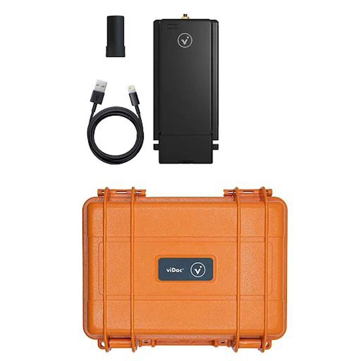
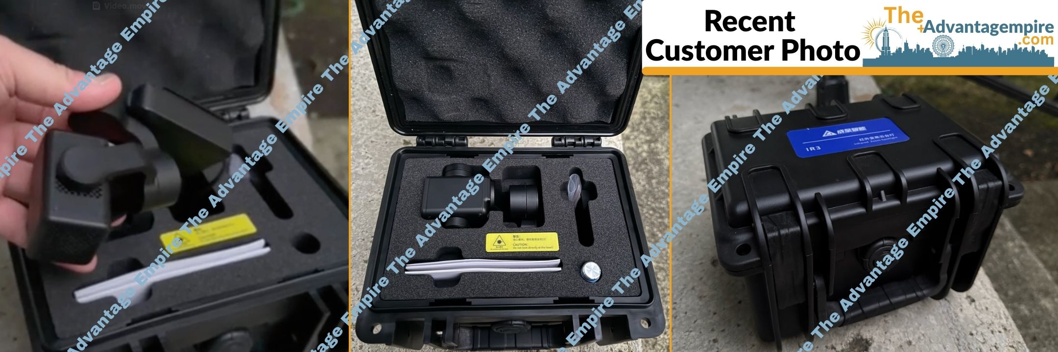
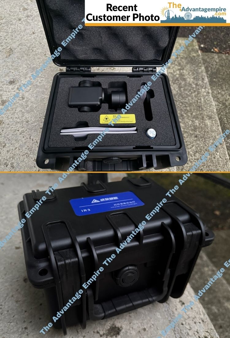
- Included Items: Pix4D viDoc RTK Rover, USB Charging Cable, GNSS Antenna, Hard Carrying Case.
- (iPhone Case/Adapter Not Included)
Invest in Unrivaled Geospatial Precision and Efficiency with Absolute Confidence
Your investment in the Pix4D viDoc RTK Rover is backed by a robust Pix4D 2-Year Limited Warranty, providing you with complete peace of mind. At The Advantage Empire, we believe in creating spaces that grow a sense of community, and with this revolutionary RTK rover, you're not just acquiring a tool; you're gaining the power to capture geospatial data with unprecedented precision, streamline complex workflows, and redefine what's possible in handheld surveying and 3D scanning, delivering truly transformative results that make lives better. Embrace the future of effortless, accurate data collection. Contact us today to elevate your capabilities and unlock a world of boundless spatial understanding!
Payment & Security
Your payment information is processed securely. We do not store credit card details nor have access to your credit card information.
Let customers speak for us
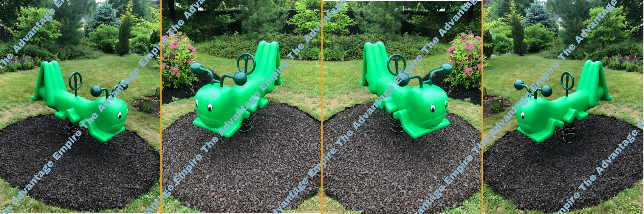
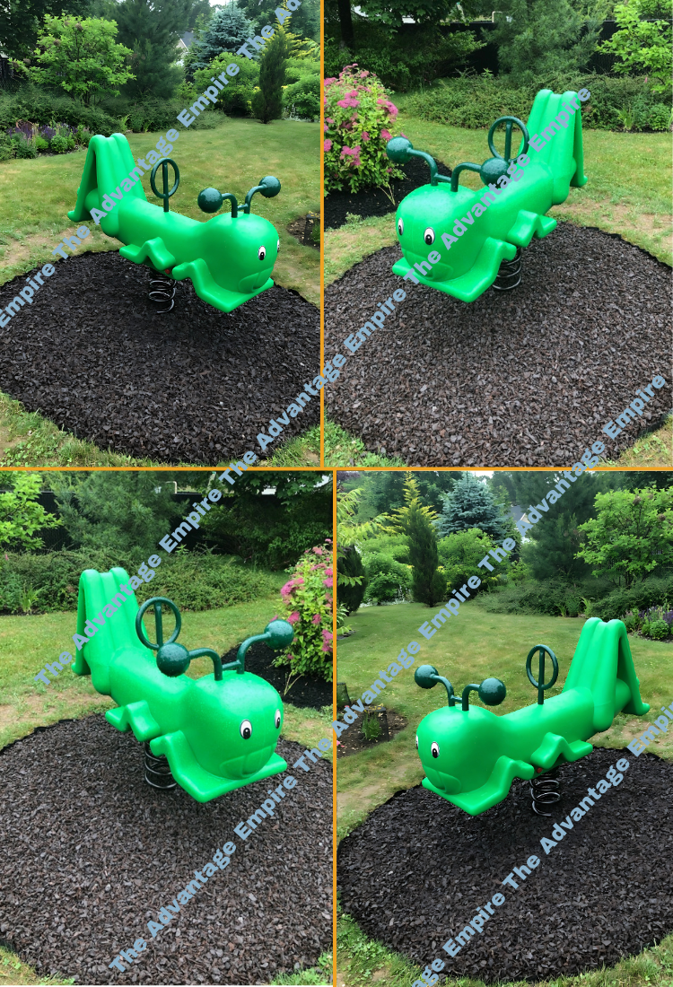
This gaga provides everything our youth sports league needs in one area. It's robust, well-designed, and has held up perfectly to constant use.

great for search and rescue operations. It's robust and performs well in various conditions. Highly recommend.

The crawl provides so many different activities, keeping the kids entertained for hours. It's a high-quality structure that feels very secure.

Well-designed and built to last! The high-quality materials ensure durability, even with daily use. Kids love the different play elements, from climbing structures to interactive panels.

This drone is perfect for our lake and river surveys. It's waterproof and provides clear underwater imaging. The customer service team answered all our technical questions.

Waterslide for outdoor setup is brilliant. It combines swimming and play seamlessly, and the materials are very durable for outdoor use.

We use this for carrying equipment to remote sites, and it handles heavy loads with ease. A very powerful and well-built machine.

Great for pre-schoolers, easy to set up and loved the customer service! Definitely would recommend

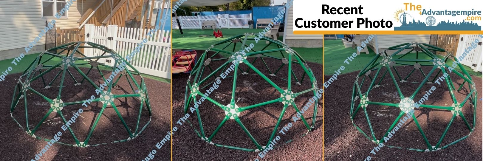
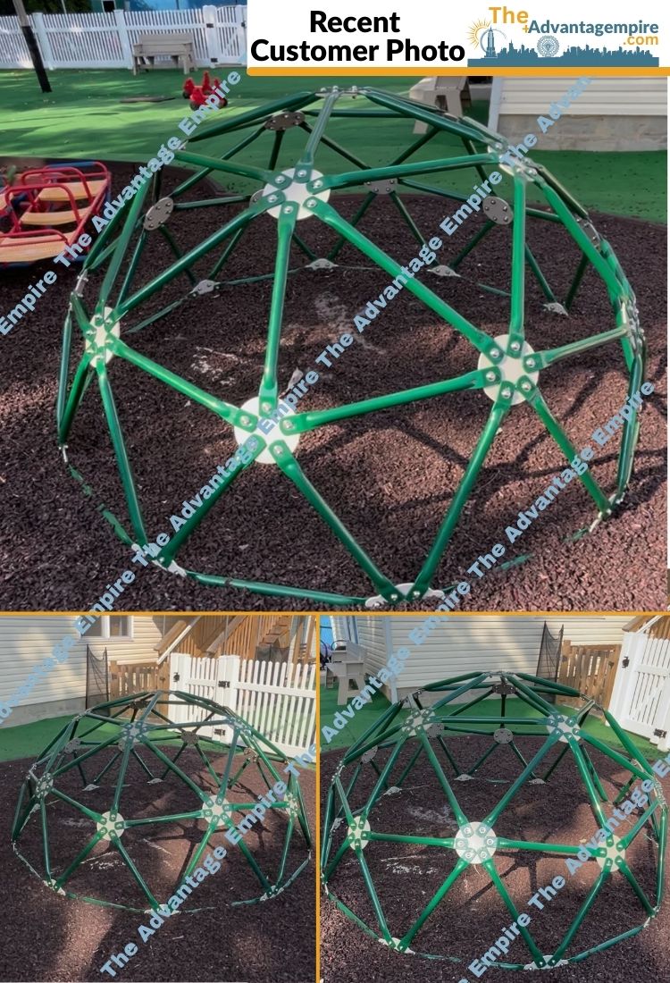
Our children love this Logan's Dome, it has been the best purchase of the year. Please do not underestimate this sort of invesment!

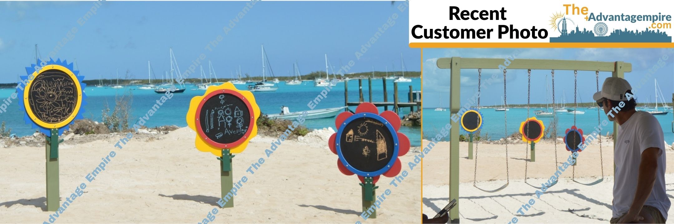
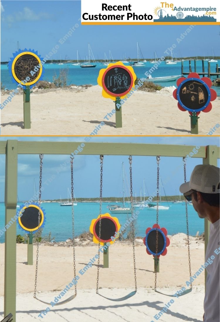
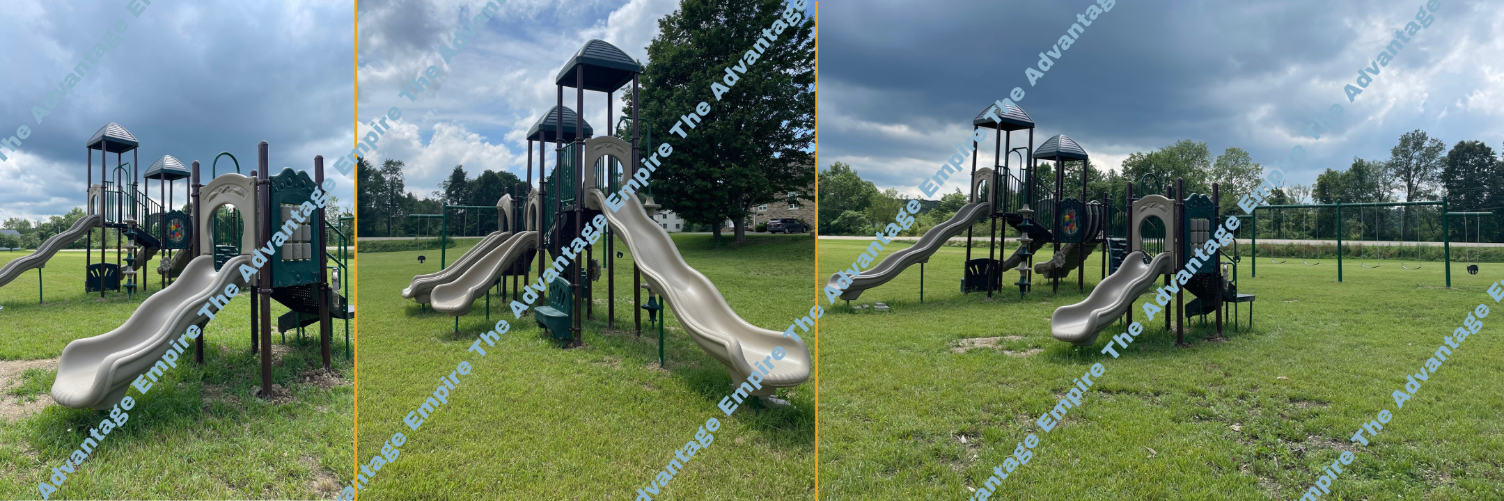
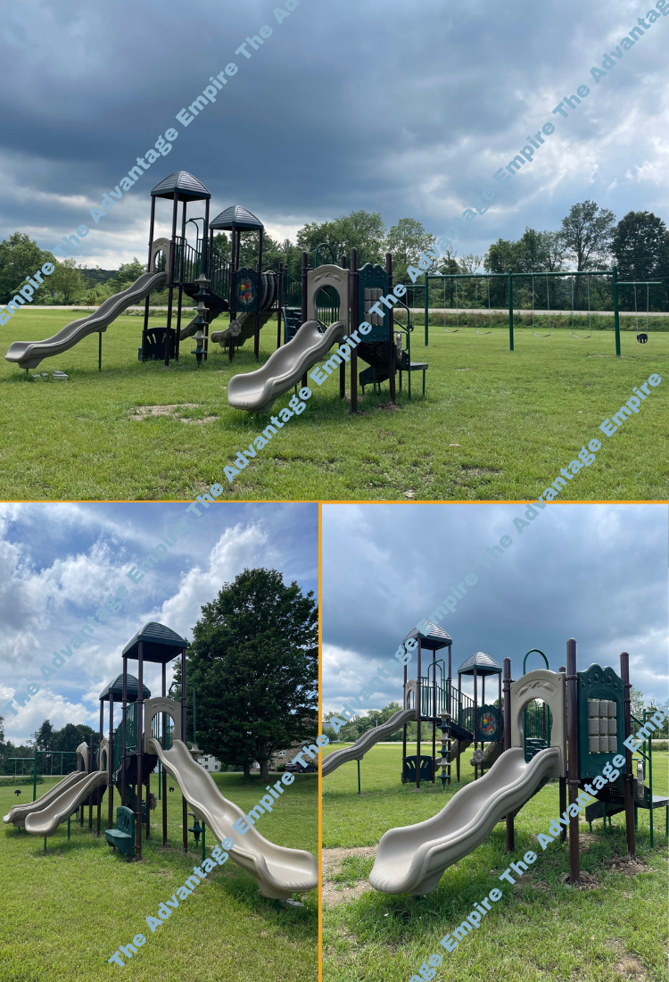
Fantastic addition to our play area! This playground equipment is colorful, engaging, and keeps the kids entertained every day.

The playground equipment has been a phenomenal addition to our school, fostering a sense of joy and wonder among the children who use it, and providing a unique and engaging play experience that promotes learning and development. The equipment's innovative design and interactive features have made it a huge hit with the kids, who love the challenge and excitement of playing on it.
The play structure is thoughtfully designed and provides great opportunities for physical activity. Its a wonderful way for kids to stay active while having fun!

We're so happy with our Tall Timbers playground. It's well-built and provides a safe and challenging play experience for our children.
