


Description
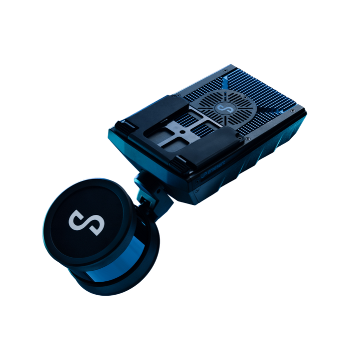
Transform your drone into an autonomous powerhouse of precision data capture with the Emesent Hovermap 100 (SKU E00-HVM) – the revolutionary SLAM-based mapper making data acquisition fast, simple, and incredibly versatile!
The Autonomous Visionary for Unlocking Complex Environments
Are you a surveying and mapping professional, mining engineer, industrial inspector, public safety agency, or even a non-profit organization, school, religious establishment, community center, apartment complex, or Homeowners Association seeking to navigate, inspect, and map challenging environments where traditional GPS-reliant drones simply cannot go? Imagine effortlessly sending your drone into underground mines, inside warehouses, beneath bridges, or into dense urban canyons, knowing it will autonomously avoid collisions and capture rich, accurate 3D LiDAR data, even without a GPS signal. The Emesent Hovermap 100 is more than just a LiDAR sensor; it's a lightweight, small, and robust drone payload with Simultaneous Localization and Mapping (SLAM) algorithms, providing unparalleled collision avoidance and GPS-denied flight capabilities, empowering you to explore and map previously inaccessible areas with complete confidence and breathtaking detail.
Benefits That Conquer Complexity, Ensure Safety, and Deliver Unrivaled Data
This isn't just a mapper; it's a transformative asset for your operational superiority, offering:
- Unlock Access to GPS-Denied Environments: Hovermap revolutionizes drone operation by enabling autonomous flight in GPS-denied environments, such as underground mines, inside warehouses, or inspecting underneath bridges. This opens up a host of new applications and allows you to capture critical data in areas previously impossible to reach with drones.
- Prevent Collisions with Intelligent Awareness: Hovermap acts as a virtual safety bubble around your drone. It processes LiDAR data onboard in real-time to produce a local 3D map of the surroundings, allowing it to detect and avoid obstacles like telecom towers, fences, trees, poles, wires, and even people, ensuring safer and more confident operations.
- Capture Rich, Accurate 3D SLAM-Based Maps: Utilizing advanced Simultaneous Localization and Mapping (SLAM) algorithms built on CSIRO’s Wildcat SLAM Solution, Hovermap delivers highly accurate and detailed 3D point cloud data, even in complex, unstructured environments, providing invaluable insights for planning, analysis, and visualization.
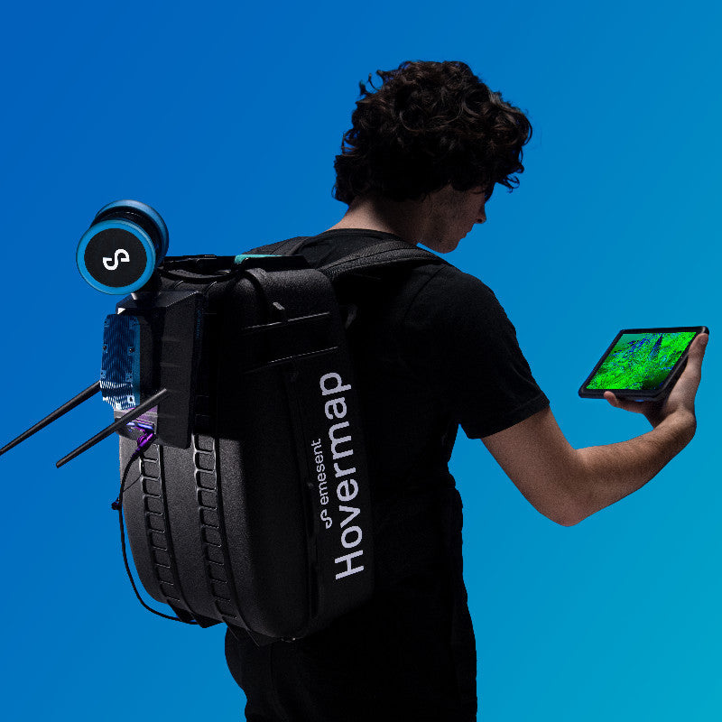
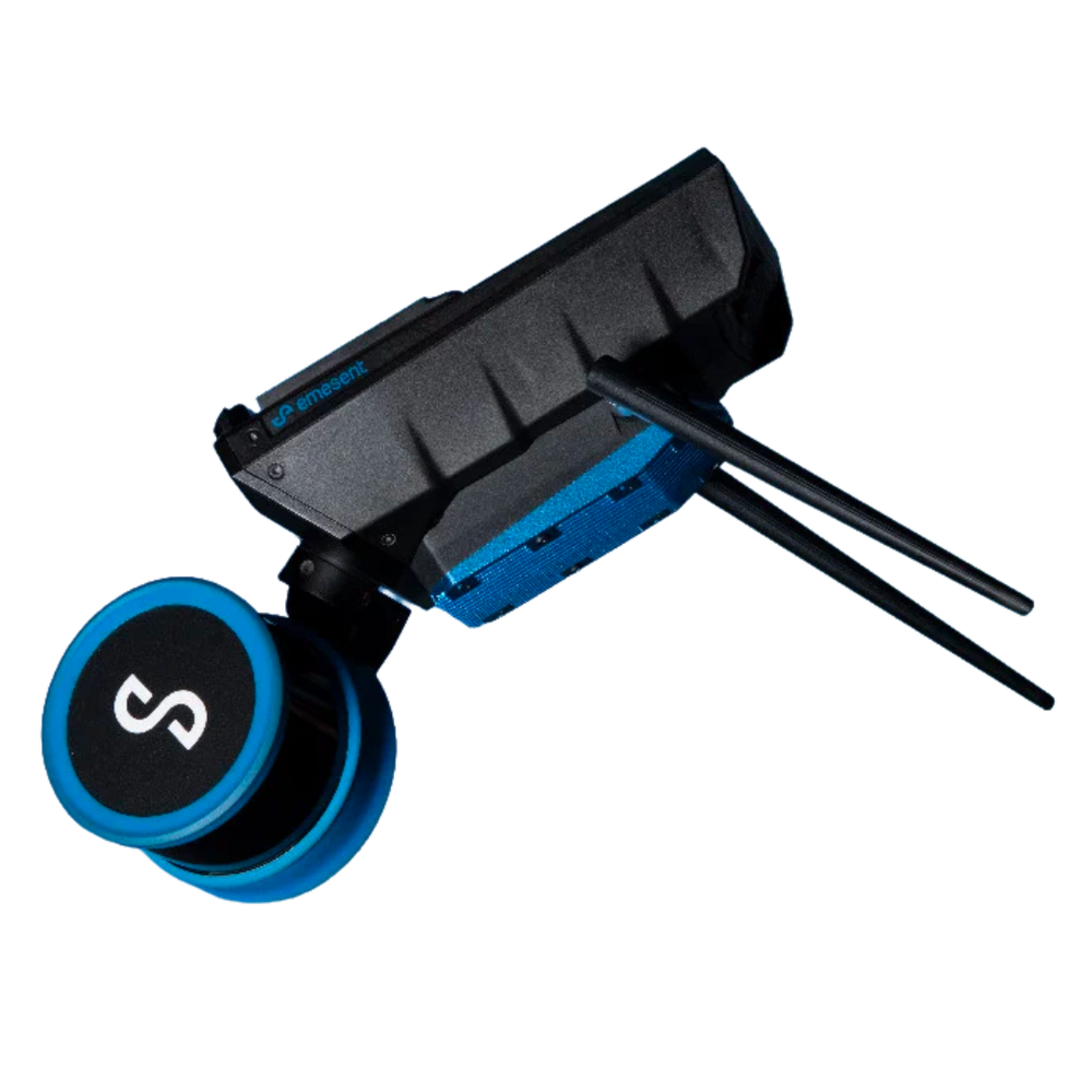
- Maximize Operational Flexibility (Drone, Handheld, Vehicle): Hovermap's unique design and quick-release mechanism allow it to be versatilely used vehicle-mounted, backpack-mounted, or even handheld for walking scenarios, making data capture fast and easy across diverse terrains and accessibility challenges.
- Accelerate Data Acquisition with Rapid Scanning: With a data acquisition speed of 300,000 points/sec and the ability to fly at up to 5m/s (scene dependent), Hovermap ensures rapid scanning and efficient data collection, saving you valuable time on every project.
The Advantage of Proprietary Autonomy, Robust Design, and Comprehensive Sensor Integration
The Emesent Hovermap 100 stands out with its intelligent engineering and unwavering commitment to performance:
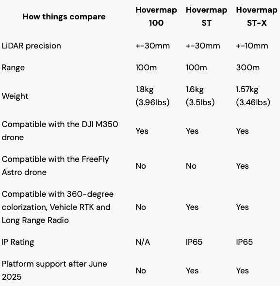
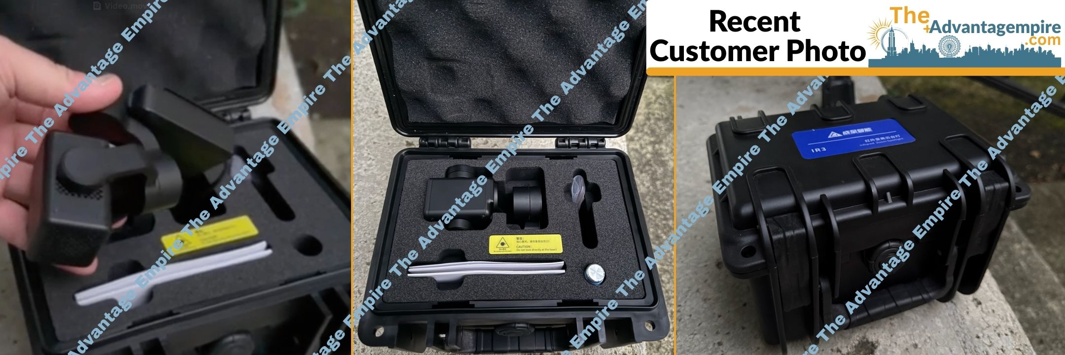
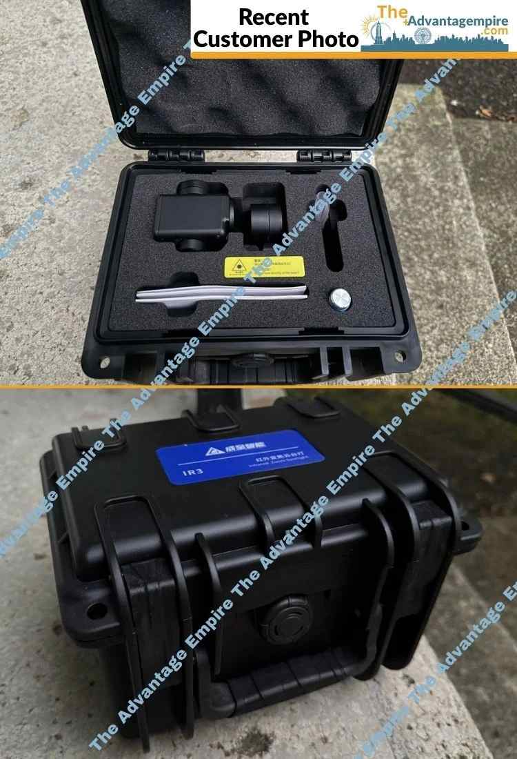
- Integrated Lightware SF20/C Sensor: While not explicitly stated for the Hovermap 100 in the provided text, the internal use of advanced LiDAR technology, like a Class 1 eye-safe laser with a range of up to 100 meters and +/- 3cm LiDAR accuracy, ensures high-quality data capture.
- Proprietary Autonomy Algorithms: Built on Emesent’s proprietary calibration and drone autonomy algorithms, the Hovermap provides robust and reliable performance, leveraging cutting-edge technology for superior results.
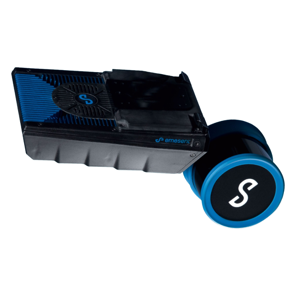
- Lightweight and Robust for Industrial Use: Despite its advanced capabilities, Hovermap is lightweight (1.8 kg) and small, yet "strong enough for industrial environments," ensuring durability and minimal impact on drone flight performance.
- 360° x 360° Angular Field of View: The comprehensive 360° x 360° angular field of view for both LiDAR scanning and collision avoidance ensures full coverage of your environment, leaving no blind spots.
- Flexible Power Input: Designed to operate with an input voltage of 12 – 50 V (e.g., 4s LiPo), offering flexible power compatibility with various drone platforms.
- Pilot Assist Flight Mode: Features a Manual Pilot Assist flight mode, enhancing operator control and confidence even in challenging environments.
Key Features for Autonomous 3D Mapping
- Mapping Technology: SLAM-based 3D mapping (Simultaneous Localization and Mapping).
- LiDAR Range: Up to 100 meters.
- LiDAR Accuracy: +/- 3cm.
- Global SLAM Accuracy: +/- 0.1% typical.
- Angular Field of View: 360° x 360° (for both LiDAR and collision avoidance).
- Data Acquisition Speed: 300,000 points/sec.
- File Size: ~300MB/min.
- Flight Speed: Up to 5m/s (scene dependent).
- Laser Safety Class: Class 1 eye safe.
- Weight: 1.8 kg.
- Power Input: Max. 90 W, 12 – 50 V.
-
Autonomous Capabilities:
- Collision Avoidance (360° x 360° field of view).
- GPS-Denied Flight.
- Flight Modes: Manual Pilot Assist.
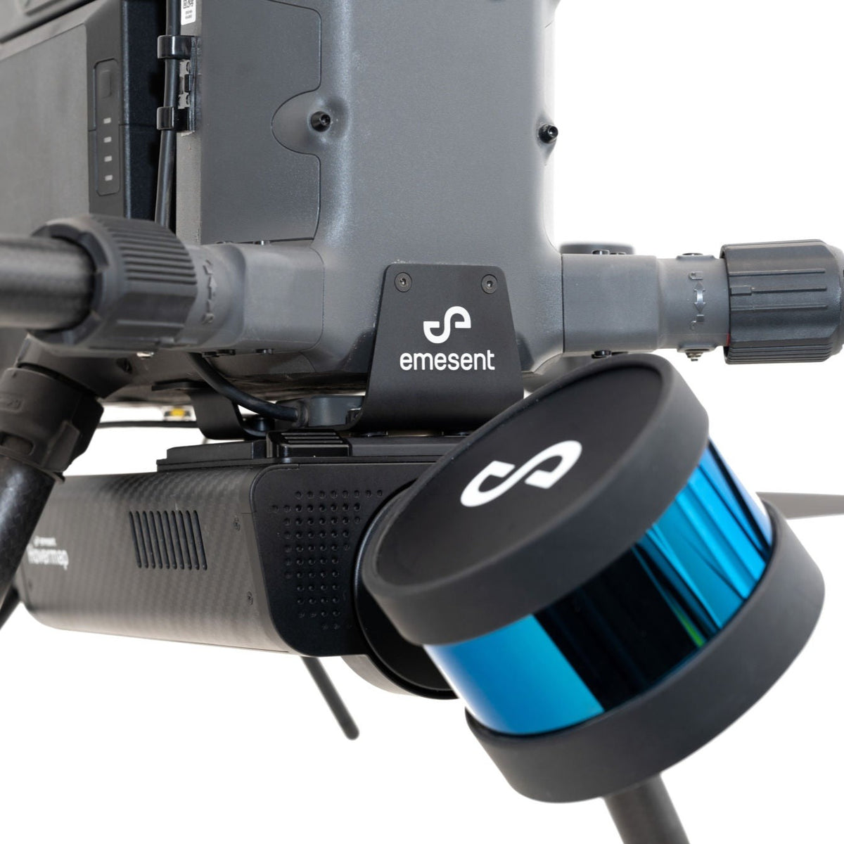
- Compatibility: Autopilot Compatibility with DJI A3 (and broadly compatible with drones capable of carrying its weight).
- Versatility: Drone-mountable, vehicle-mounted, backpack-mounted, handheld.
- Mounting: Quick-release mechanism for easy switching.
Invest in Unrivaled Autonomous Intelligence with Absolute Confidence
Your investment in the Emesent Hovermap 100 is fully protected by a comprehensive manufacturer warranty, providing you with complete peace of mind. At The Advantage Empire, we believe in creating spaces that grow a sense of community, and with Hovermap, you're not just acquiring a sensor; you're gaining the power to safely explore, map, and understand environments previously deemed inaccessible, fostering groundbreaking advancements and delivering truly transformative results that make lives better. As a leader in autonomous drone technology, Emesent empowers professionals to push the boundaries of aerial data collection and safety. Contact us today to unlock the full potential of autonomous LiDAR mapping and revolutionize your aerial operations!
Payment & Security
Your payment information is processed securely. We do not store credit card details nor have access to your credit card information.
Let customers speak for us
Got this KT-710G tire balancer and it is perfect for my needs as my garage is only 1 bay, this machine can be moved into place and moved back to its storage space. Assembly was straight forward and the tire calibration went as expected. I then balanced my calibration tire to zero. Very impressed with it overall. The Advantage Empire guys really took care of me with a discount and they worked with me on shipping. Overall a solid investment for my home garage.

Not much will beat this balancer. Shipped fast. easy to put together. Works right out of the case. Th only thing that beats this balancer is the customer service you get at The Advantage Empire. Nothing beats that. Thanks Obdi. We will work together soon.
David
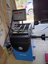
Purchased a tire machine and wheel balancer. The balancer turned out to be defective. Obdi was behind me All the way getting it returned. I am ordering a replacement from him. If you are looking for auto equipment buy them from Obdi. He has your back if something goes wrong and will make a good deal for you.

easy to setup, fast delivery + best price, will definitely be shoppin here again

Quick service and, easy communication with the team
I had the best experience ever in the purchasing process. They were easy to deal with and very responsive to my questions.

great service and responsive team, happy with eveyrthing

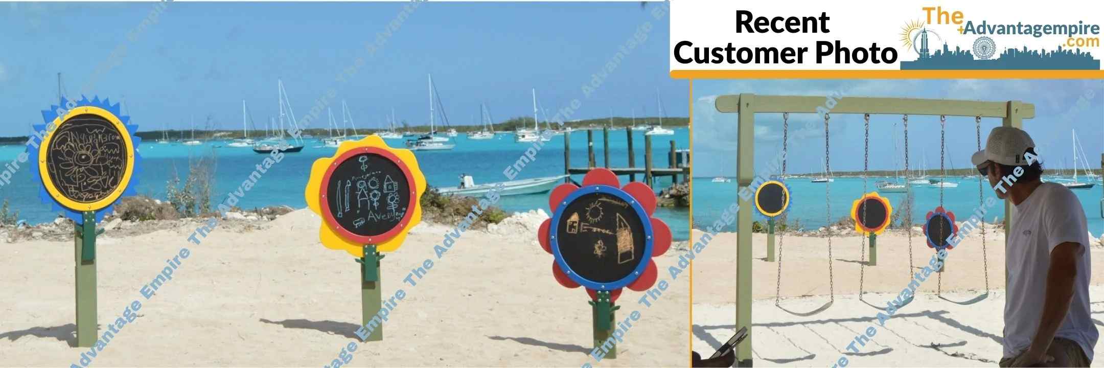
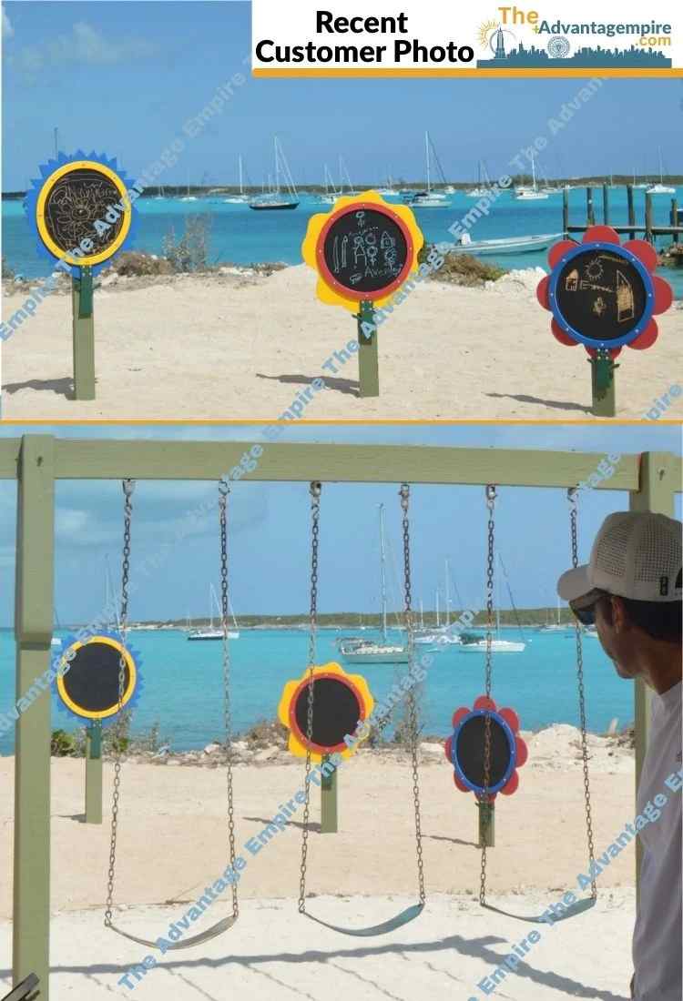
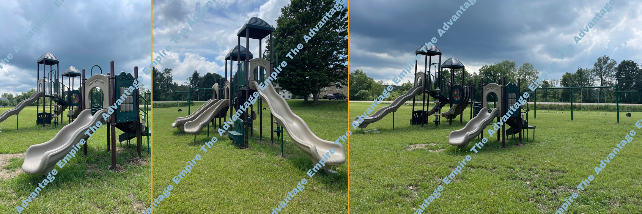
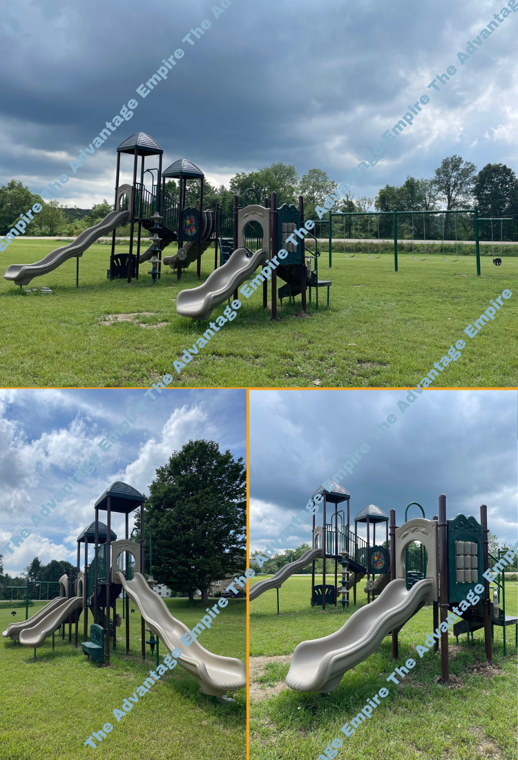
This gaga provides everything our youth sports league needs in one area. It's robust, well-designed, and has held up perfectly to constant use.

great for search and rescue operations. It's robust and performs well in various conditions. Highly recommend.

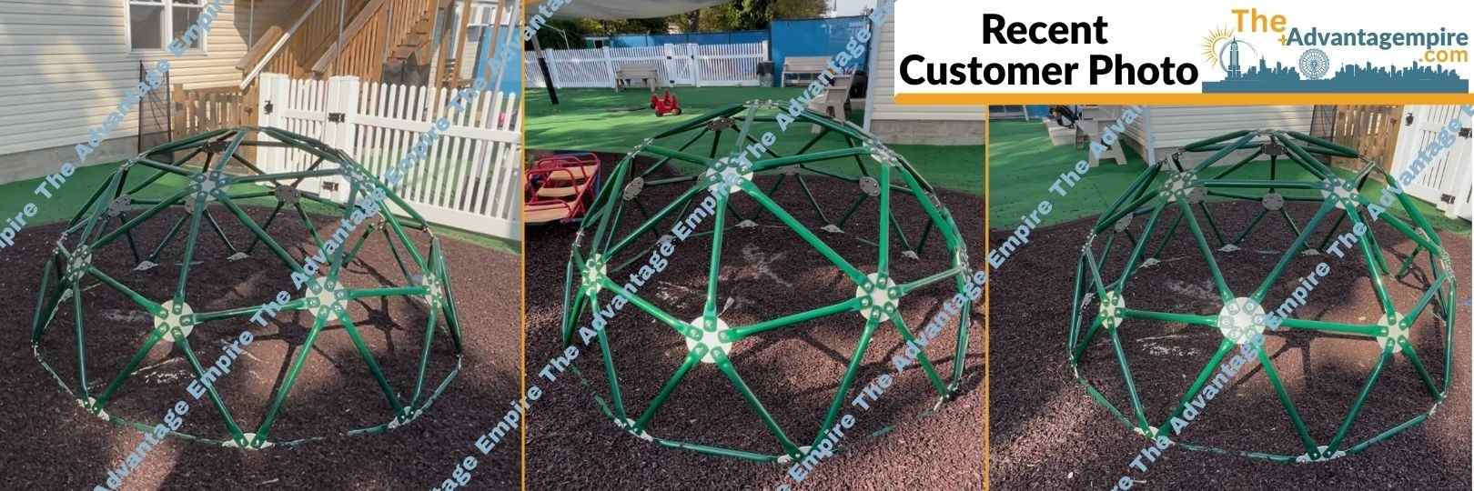
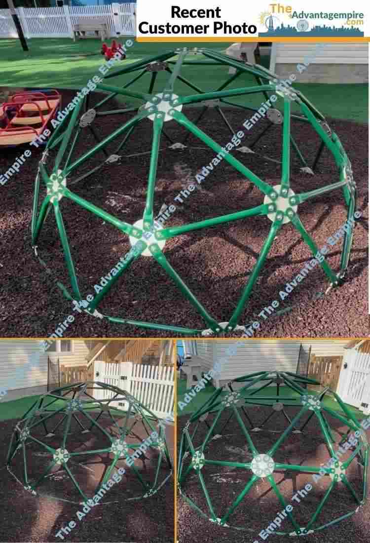
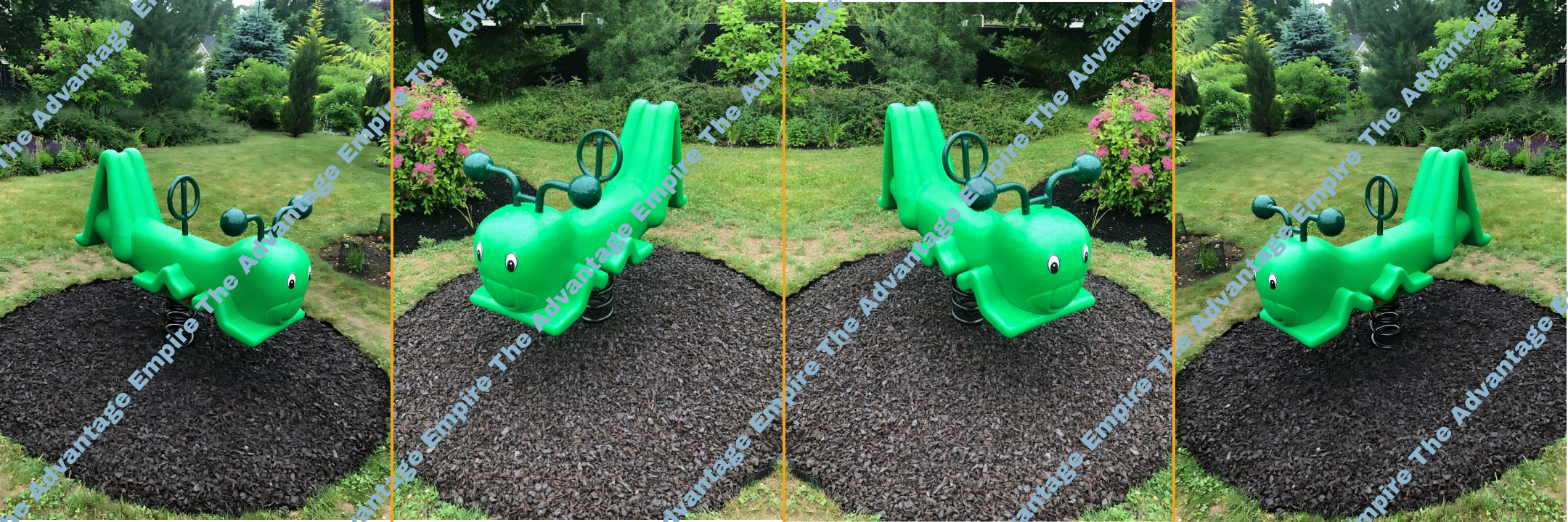
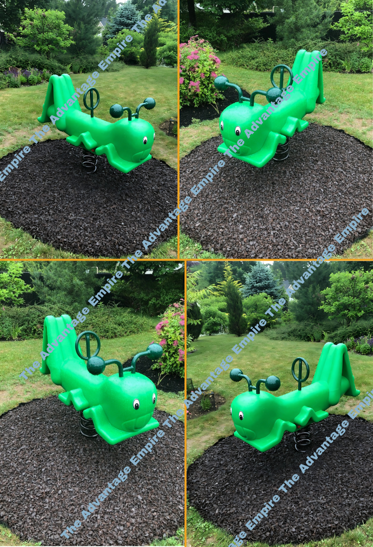
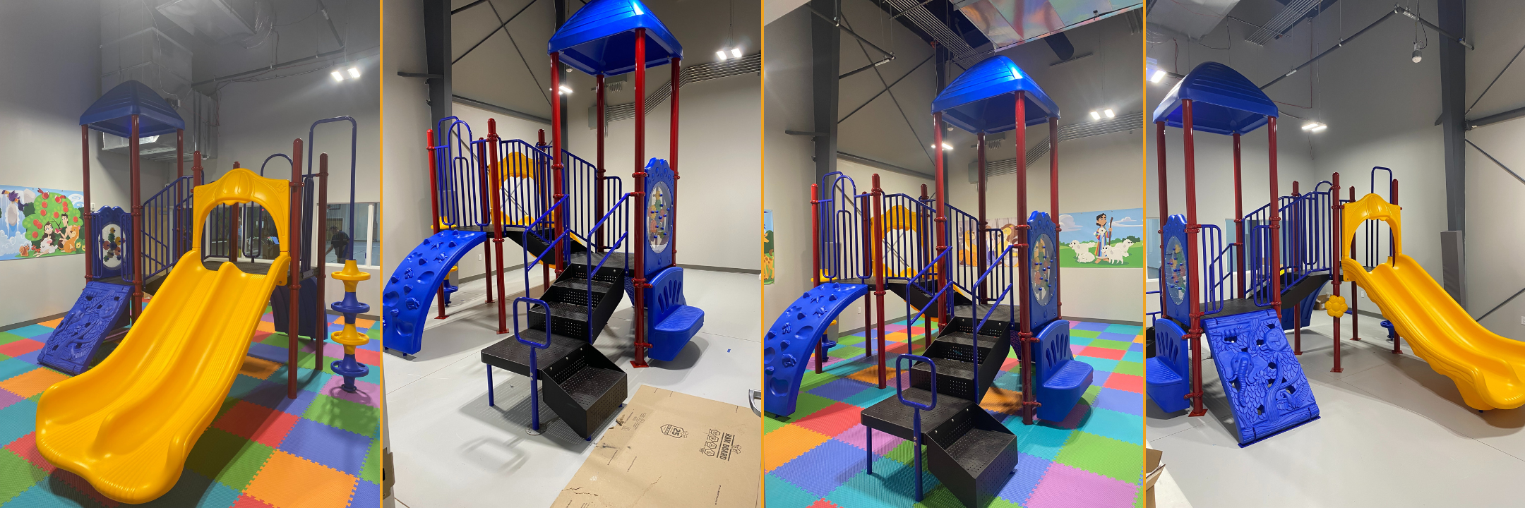
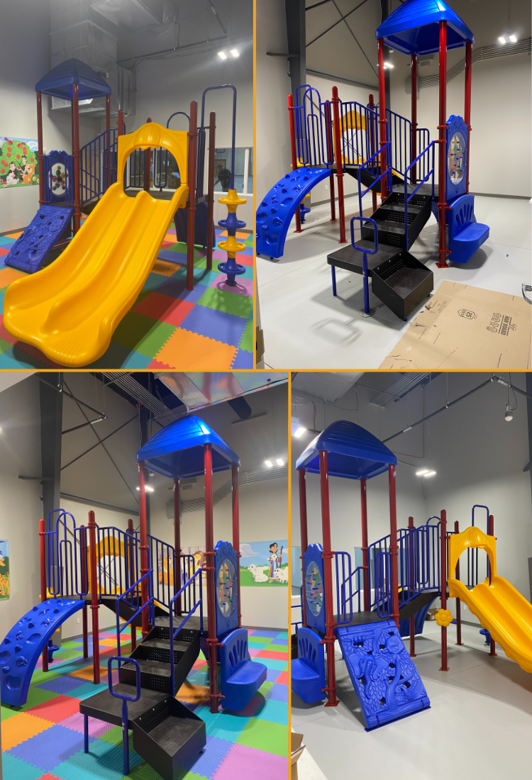
The crawl provides so many different activities, keeping the kids entertained for hours. It's a high-quality structure that feels very secure.

Well-designed and built to last! The high-quality materials ensure durability, even with daily use. Kids love the different play elements, from climbing structures to interactive panels.

This drone is perfect for our lake and river surveys. It's waterproof and provides clear underwater imaging. The customer service team answered all our technical questions.

Waterslide for outdoor setup is brilliant. It combines swimming and play seamlessly, and the materials are very durable for outdoor use.

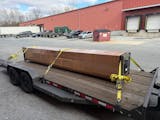
We use this for carrying equipment to remote sites, and it handles heavy loads with ease. A very powerful and well-built machine.

Great for pre-schoolers, easy to set up and loved the customer service! Definitely would recommend
