

Description
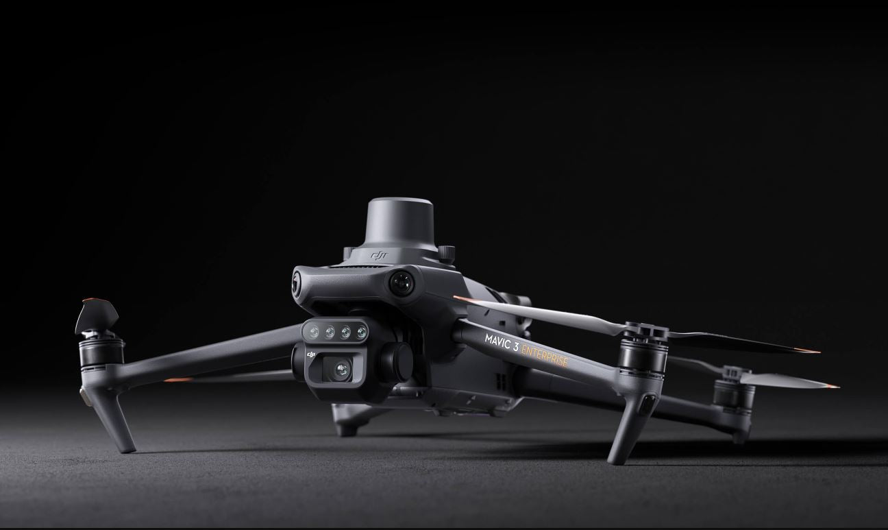
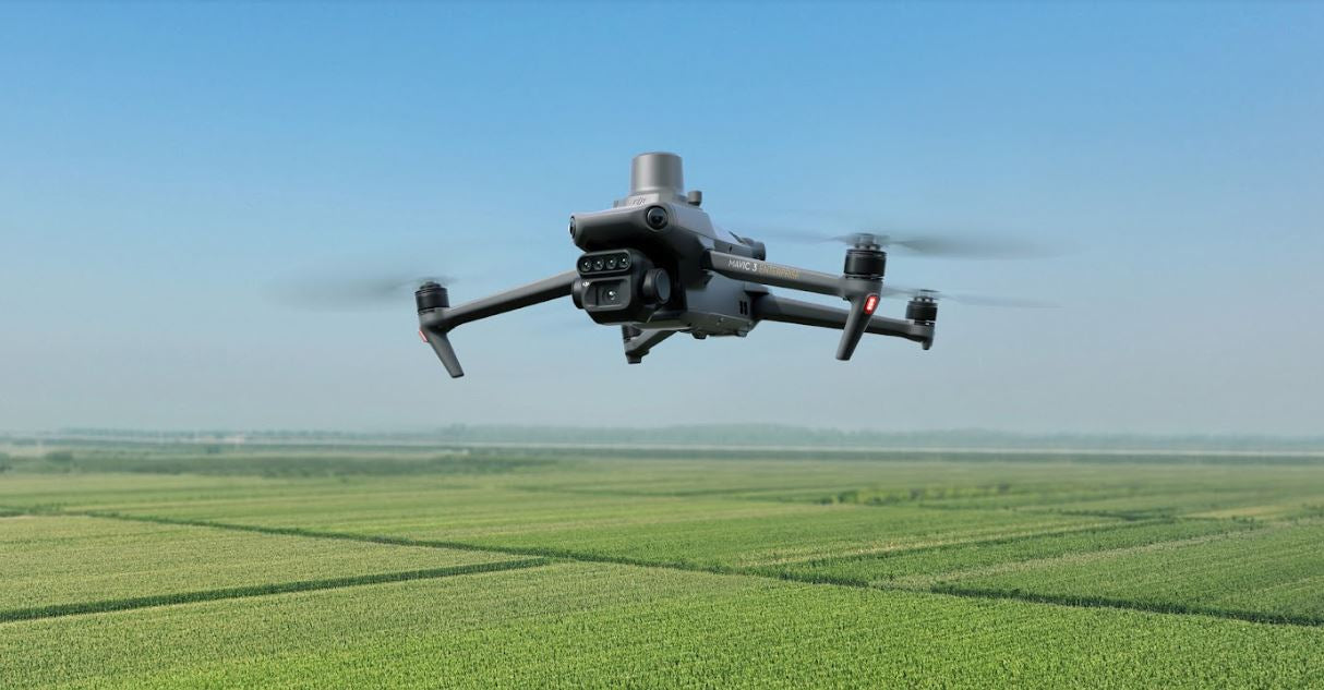
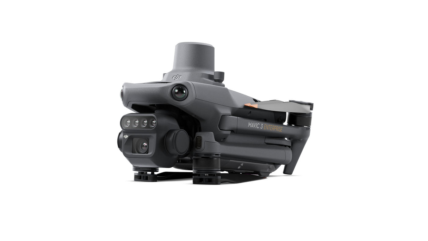
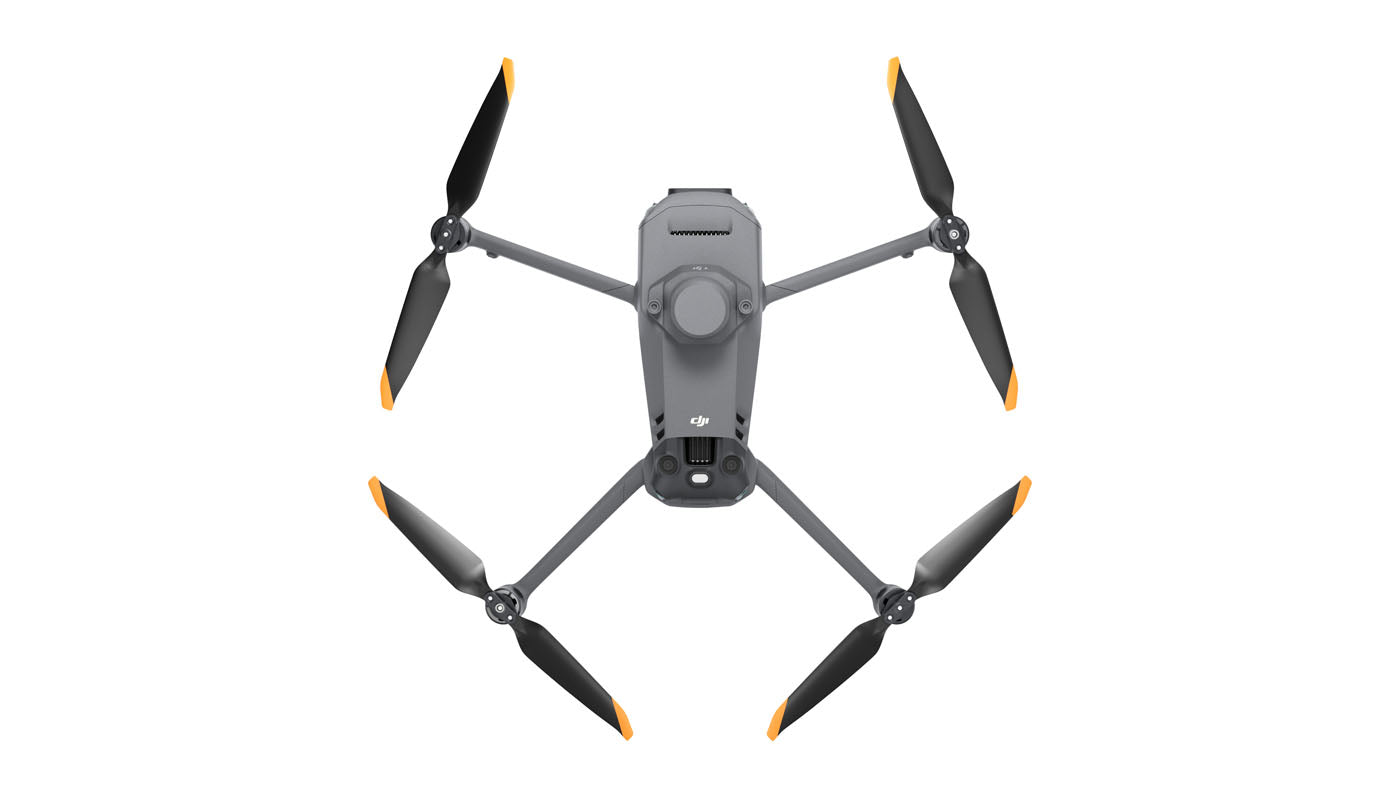
DJI Mavic 3 Multispectral
See More, Work Smarter
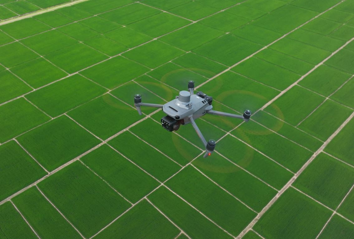
Effective aerial surveying needs to see the invisible. That's why Mavic 3 Multispectral has two forms of sight. It combines an RGB camera with a multispectral camera to scan and analyze crop growth with total clarity. Agricultural production management requires precision and data, and Mavic 3M delivers both.

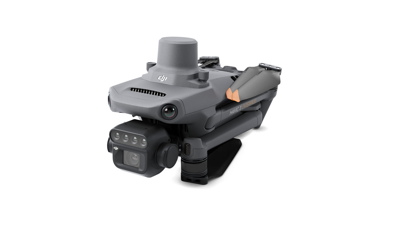
Compact and portable
Multispectral Camera
RGB camera
Safe and stable
Precise positioning
Efficient aerial surveying
Multispectral + RBG imaging system
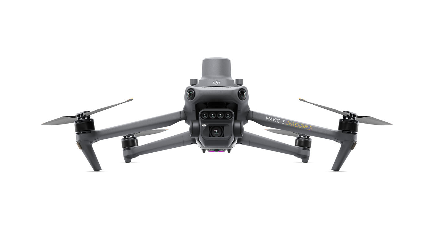
Highly integrated imaging system
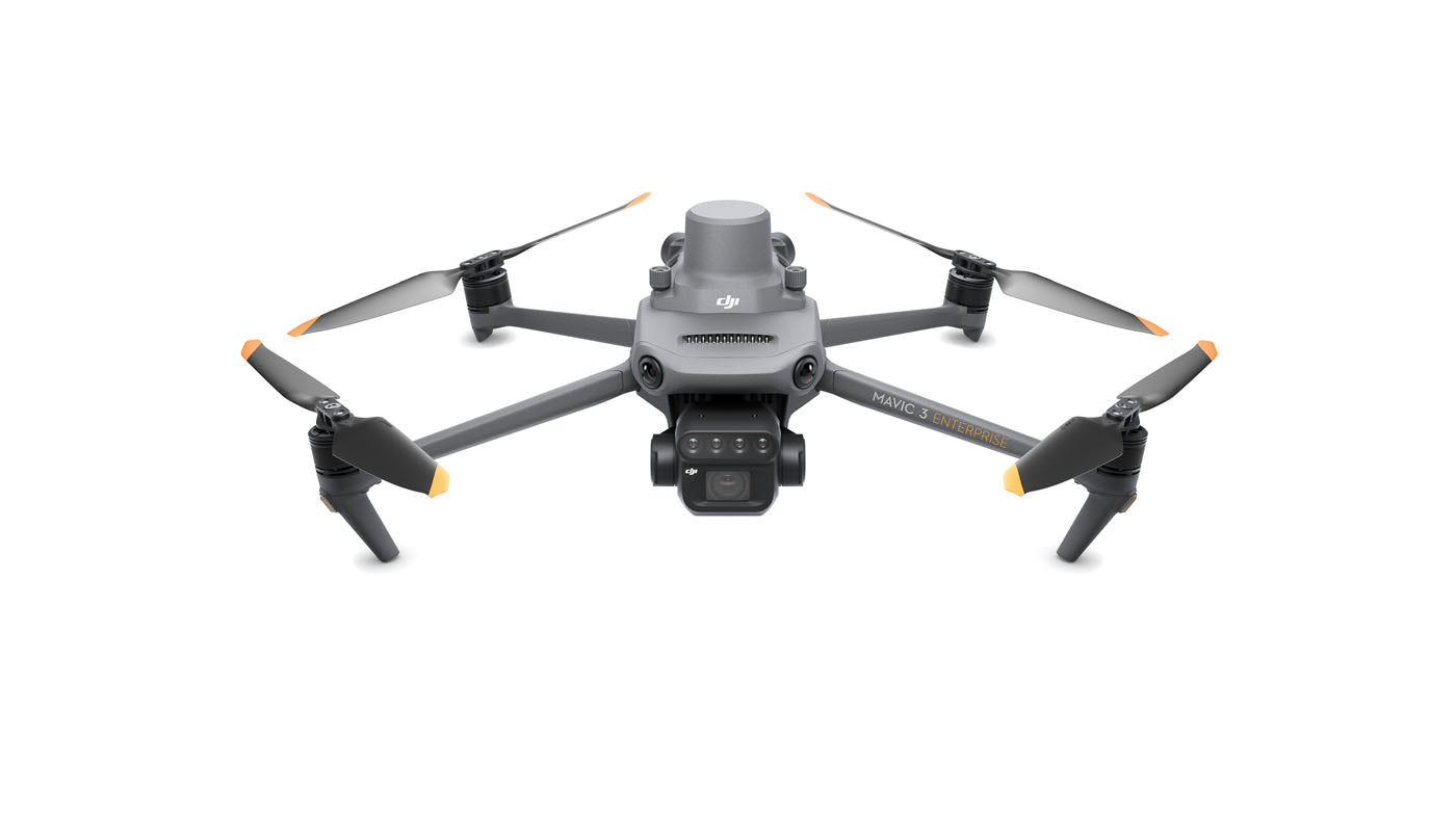
Newly upgraded imaging system with one 20MP RGB camera and four 5MP multispectral cameras (green, red, red edge, and near infrared). Enables applications such as high-precision aerial surveying, crop growth monitoring, and natural resource surveys.
5MP Multispectral Camera
Near-infrared (NIR) 860 nm ± 26 nm
Red edge (RE) 730 nm ± 16 nm
Red (R) 650 nm ± 16 nm
Green (G) 560 nm ± 16 nm
RGB camera characteristics
4/3 CMOS - 20MP Image Sensor
1/2000s - Fastest mechnaical shutter speed
0/7s - High speed burst when RGB camera is used
Sunlight Sensor
The built-in sunlight sensor captures solar irradiance and records it in an image file, allowing for light compensation of image data during 2D reconstruction. This results in more accurate NDVI results, as well as improved accuracy and consistency of data acquired over time.
RTK module
Accurate images that capture every pixel
Mavic 3M with RTK module for centimeter-level positioning. Flight control, the camera, and the RTK module sync in microseconds to accurately capture the location of each camera's imaging center. This enables Mavic 3M to do high-precision aerial surveying without using ground control points.
Efficient and reliable battery life
43 minutes Cruise Time
200 hectare - A single flight can complete mapping operations over an area of 200 hectares.
100W Battery Charging Hub | High-efficiency fast charging
88W fast charging | Aircraft
Stable signal, smooth image transmission
The O3 transmission integrates two transmitting signals and four receiving signals to support 15km ultra-long transmission distances.
Omnidirectional obstacle sensing, terrain-follow aerial surveying
The aircraft features multiple wide-FOV vision sensors that accurately detect obstacles in all directions for omnidirectional obstacle avoidance. The terrain-follow aerial surveying can be easily performed in steep-slope landscapes.
Applications
Orchard mapping
Mavic 3M allows terrain-follow aerial surveying of orchards, even on sloped landscapes. Together with DJI Terra or DJI SmartFarm Platform to reconstruct high-resolution orchard maps, automatically identify the number of trees, distinguish trees from other obstacles or objects, and generate three-dimensional operation routes for agricultural drones, making operations safer and more efficient.
Guide variable rate applications
For rice fertilization, cotton growth regulation, and potato foliar fertilizer spraying, the Mavic 3M is used to obtain multi-spectral images of crops. DJI Terra or the DJI SmartFarm Platform can then generate NDVI and other vegetation indices maps, capturing differences in crop potential and generating prescription maps that allow agricultural drones to execute variable-rate application. This ultimately allows users to reduce costs, increase yield, and protect the environment.
Intelligent field scouting
The Mavic 3M can carry out automatic field scouting. The field scout images can be uploaded to the DJI SmartFarm Platform in real time through a 4G network. It can find abnormalities, such as emergence deficiencies, weed pressure, and crop lodging in a timely manner. It can also conduct intelligent analyses, such as cotton seedling identification and rice production testing, using AI identification for real-time sharing of crop growth information, guidance of agronomic activities, and easy management of 70 hectares of farmland by one person.
Environmental Monitoring and Natural Resources Survey
The Mavic 3M can also be used in environment and natural resource surveys, such as water enrichment monitoring, forest distribution surveys, urban green area surveys, and more.
Payment & Security
Your payment information is processed securely. We do not store credit card details nor have access to your credit card information.
Let customers speak for us
bought two lifts, easy to set up, one was delayed but shipped the next week good customer service always responds quickly

purchased two NT-9s ancalled me straight away to confirm details. Arrived in a few days with tracking! need to order 1 more lift from advantage empire guys, keep up the great work
- eyde

It is everything we expected. Works great.
Ry was great to work with. Fast delivery and excellent follow-up. Would definitely recommend. We hope to do business again in the future.
Looks great. Haven't set it up yet though.

Atlas 10,000 lb Overhead 2 Post Lift SKU ATEXH-PV10PX

Couldn't be more pleased, great service and attention to shipping updates. Equipment excelent and easy to set up. Great fo home use. Delivered in just a few days.
Got this KT-710G tire balancer and it is perfect for my needs as my garage is only 1 bay, this machine can be moved into place and moved back to its storage space. Assembly was straight forward and the tire calibration went as expected. I then balanced my calibration tire to zero. Very impressed with it overall. The Advantage Empire guys really took care of me with a discount and they worked with me on shipping. Overall a solid investment for my home garage.

Not much will beat this balancer. Shipped fast. easy to put together. Works right out of the case. Th only thing that beats this balancer is the customer service you get at The Advantage Empire. Nothing beats that. Thanks Obdi. We will work together soon.
David
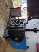
Purchased a tire machine and wheel balancer. The balancer turned out to be defective. Obdi was behind me All the way getting it returned. I am ordering a replacement from him. If you are looking for auto equipment buy them from Obdi. He has your back if something goes wrong and will make a good deal for you.

easy to setup, fast delivery + best price, will definitely be shoppin here again

Quick service and, easy communication with the team
I had the best experience ever in the purchasing process. They were easy to deal with and very responsive to my questions.

great service and responsive team, happy with eveyrthing
This gaga provides everything our youth sports league needs in one area. It's robust, well-designed, and has held up perfectly to constant use.